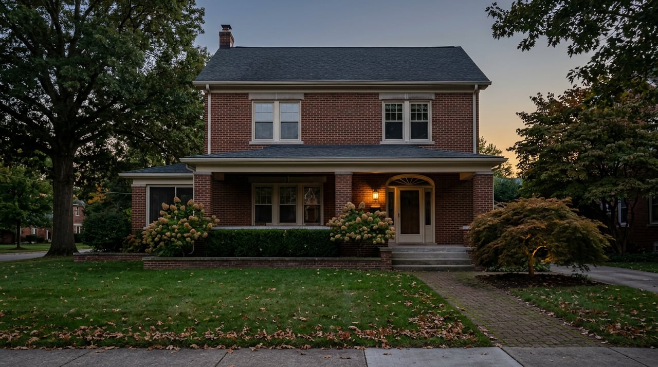
Ask someone from Cincinnati which side of town they grew up on and you rarely get an address. You get a story: the Catholic parish, the high school, the joke about needing a passport to cross from the East Side to the West Side and back. Vine Street has been the official east-west divider on maps since 1896, though most locals will tell you the real line runs along I-75, with a fuzzy no-man's-land in between where nobody quite claims a side.
That joke has always assumed two teams, each internally consistent. East Side wealthier, more transient, drawn to Hyde Park and Mount Lookout. West Side rooted, affordable, generations of the same family staying within a few miles of Elder or Seton. For anyone actually shopping the market right now, that assumption is starting to cost real money. The West Side is not repricing as one place. Two neighborhoods that share a housing stock, a commute corridor, and the same aging bridge into downtown are moving at completely different speeds, and the bridge is most of the reason why.
The joke has real institutions behind it
The rivalry isn't just a punchline. It shows up in where people take their kids for ice cream (Zip Dip in Green Township against Graeter's on Hyde Park Square), where they watch fireworks on the Fourth (Kuliga Park in Bridgetown against Ault Park in Mount Lookout), and where they go for a beer with a view (Incline Public House on Price Hill's bluff against City View Tavern up in Mount Adams). Even the neutral ground has a name: St. Xavier High School sits close enough to the middle that its graduates get claimed by both sides. The divide is real enough that local historians trace it back to 19th-century Cincinnatians moving east along the streetcar lines while the West Side stayed hemmed in by the industrial Mill Creek Valley. Public radio station WVXU has covered how deep that geography still shapes identity a century later.
None of that folklore is changing. What's changing is the bridge that has always been the West Side's main connection to downtown and uptown.
The bridge every West Sider is watching
The Western Hills Viaduct carries more than 55,000 vehicles a day over the Mill Creek Valley and an active rail yard, linking the West Side directly to Downtown and Uptown. It was built in the early 1930s and it is being replaced, not repaired. Cincinnati City Council approved phase-one funding of $180 million in November 2025, and the project has already been redesigned once: rising labor and material costs forced engineers to shrink the new bridge from eight traffic lanes to six, a change that cut the projected cost by at least $150 million. The contractor is a joint venture between Walsh Construction and Kokosing.
As of this summer, the work is no longer theoretical. Crews have been relocating utilities and rail lines, and West Side drivers have already lived through daytime viaduct closures for utility work, the kind that turn a five-minute commute into a twenty-minute detour depending on how early you catch the signs. Axios Cincinnati reported in late July 2026 that the project's manager, Brandon Lecrone, described the work as "on schedule and on budget." The next real disruption is close: the southbound ramp to I-75 is set to close in early 2027 and will stay closed until the replacement bridge opens, currently projected for December 2031. That's a single ramp closure lasting roughly five years, on the one crossing most of the West Side depends on to get downtown.
If you're weighing a West Side neighborhood right now, that timeline isn't background noise. It's the single biggest variable in what your daily commute looks like for most of the next decade.
The number that breaks the "West Side" label
Here's where the simple story falls apart. You'd expect the neighborhood sitting closest to five years of active bridge construction to be the one buyers discount. The data says the opposite is happening.
Westwood sits at the literal west end of the viaduct project. Local news coverage of the plan describes the new bridge as running from Central Parkway and McMillan on the east side of the crossing to Westwood and Harrison on the west, which puts Westwood at ground zero for six years of construction traffic. Over the three months ending June 2026, Westwood's median sale price ran $239,000, up 19.7% from the same stretch a year earlier. Homes there are taking a bit longer to sell, 45 days on average against 42 last year, and fewer of them are trading (62 sales in June 2026 versus 79 in June 2025), but the price line is climbing fast.
West Price Hill, just to the south and also dependent on getting across that same river valley, tells a different story. Over the three months ending May 2026, its median sale price sat around $188,000, up just 1.6% year over year. Days on market ticked up to 48 from 41. Sales volume slipped slightly too.
Two neighborhoods, same side of the same river, same bridge, same construction window. Westwood's reported year-over-year increase is more than twelve times West Price Hill's. That's not noise. Something is actually different in how buyers are pricing risk and upside across these two markets right now, and geography alone doesn't explain it.
The more interesting read is that Westwood buyers may be pricing in the finished bridge, not just the disrupted one. Westwood has its own commercial corridor, older housing stock with renovation upside, and enough proximity to Downtown that a six-lane, modern crossing due in 2031 reads as an upgrade worth buying ahead of. West Price Hill, sitting a bit further from that immediate payoff, hasn't attracted the same anticipatory bump, at least not yet. The construction discount that used to apply evenly across the West Side is unwinding at different speeds in different zip codes, and the neighborhood absorbing the most disruption is, paradoxically, the one pricing in the biggest reward.
What this means if you're actually choosing a side
If you're relocating and comparing the East Side against the West Side, or comparing West Side neighborhoods against each other, treat "West Side" as a starting point for research, not a price tier. Two moves matter more than the label.
First, ask which route a specific listing actually relies on for a downtown or uptown commute. A home a half mile from the viaduct's western landing faces a different next five years than a home whose daily drive doesn't touch that crossing at all. That distinction won't show up in a portal's neighborhood boundary lines, but it shows up in your actual drive time starting in 2027.
Second, remember that today's price gap between neighborhoods like Westwood and West Price Hill is tied to a project with an end date. Once the new bridge opens and the roughly five years of ramp closures and detours are behind everyone, some of what's currently priced in as risk or opportunity will settle. Buying into the slower-moving pocket now, with eyes open about why it's slower, is a different decision than buying into it blind.
FAQ
Is the Western Hills Viaduct closing completely during construction? No. The existing bridge is staying open for most of the project, with the current plan built around coordinated ramp closures and short-term work windows on nearby roads like State Avenue rather than a full shutdown, based on the city's official project updates.
When does the new bridge actually open? The most recent reporting, from Axios Cincinnati in late July 2026, puts completion at December 2031. Earlier city materials referenced a 2032 target before the schedule tightened.
What's the single biggest change coming for West Side commuters? The southbound ramp connecting the viaduct to I-75 is scheduled to close in early 2027 and stay closed until the new bridge opens, which means anyone commuting from the West Side toward Downtown or Uptown via that ramp should plan for a multi-year detour, not a temporary one.
Comparing neighborhoods this closely, down to which ramp a listing depends on, is exactly the kind of homework that's easy to miss from a portal search and hard to do alone from out of town. Paige von Hoffmann and the LIVIN IN CIN team work both sides of Cincinnati every week and can walk you through what a specific address actually means for your commute, your resale timeline, and your options on either side of the river. Reach out to request your personalized home valuation and a straight answer about where a listing really sits.